


Insurance companies weather the storm with threat alerts from AfriGIS
Insurance providers are partnering with AfriGIS to provide real-time weather alerts to clients via SMS and WhatsApp, helping them proactively protect their assets from weather-related risks like hailstorms, lightning strikes and other extreme weather events. This innovative solution leverages weather data, asset locations, automated messaging platforms, and API integration to enhance customer experience and reduce insurance claims, resulting in substantial cost savings for both policyholders and insurers.
Read More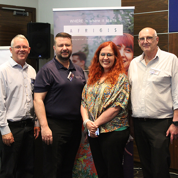
Embracing the Power of Geospatial Technology.
The AfriGIS Data and Spatial Workshop, held on November 22, 2023, at the Premier Hotel in Midrand, Johannesburg, marked a significant event in the GIS community. Themed “Embracing the Power of Geospatial Technology: Becoming Future-Ready,” the workshop brought together experts and enthusiasts in the field of Geographic Information Systems (GIS) to explore the ever-evolving landscape of geospatial technology and its transformative impact across multiple industries.
Read More
The power of geospatial data to enhance KYC and customer service in banking.
The integration of geospatial data in financial services is transforming the industry by enhancing Know Your Customer (KYC) processes and customer experiences. This shift towards digital transformation allows financial institutions to accurately verify customer identities, assess risks, and ensure regulatory compliance. Using real-time location analytics, these institutions can better understand customer behaviours and preferences, leading to personalised services and targeted marketing. Address compliance, a key aspect of KYC, benefits from the accuracy and completeness that geospatial data provides, streamlining customer onboarding and improving security. This approach not only aids in detecting fraud but also significantly enhances customer interaction, promising a future where data-driven insights are central to financial transactions and customer relationships.
Read More
Celebrating GIS Month
Welcome to GIS Month, where we celebrate the power of Geographic Information Systems (GIS). Whether it's optimising outlet placement for fast-food franchises, enhancing first-time delivery success rates for courier companies, ensuring compliance in banks, or facilitating service delivery, and tax collection for governments, every industry benefits from the invaluable insights provided by geospatial data and analysis.
Read More
DSV finds customers everywhere with AfriGIS
DSV's Game-Changing Collaboration with AfriGIS for Precision Deliveries. Logistics giant DSV has joined forces with AfriGIS to redefine the delivery landscape. Leveraging AfriGIS's cutting-edge geocoding technology, DSV now orchestrates thousands of daily deliveries with remarkable precision. This collaboration marks a turning point in the logistics sector, eliminating inaccuracies, optimising routes, and enhancing customer experiences. With AfriGIS's expertise, DSV is not just delivering packages, but also a new era of efficiency and excellence in the industry.
Read More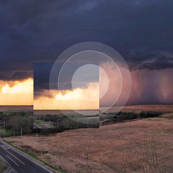
Come rain or shine
GIS-enabled weather data analysis and visualisation are revolutionising the insurance industry, especially in Sub-Saharan Africa where climate change impacts are substantial. Insurers are adopting geospatial solutions that integrate weather data from weather stations and satellites with location-based information. This enables them to assess risks more accurately, predict weather patterns, and enhance safety measures. By leveraging geospatial systems, insurers are delivering enhanced value to customers in an evolving and competitive market.
Read More
Industry-academia collaboration empowers next-gen GIS professionals
"Technical workshops provide hands-on experiences that allow our students to apply theoretical concepts to real-world scenarios,” says Dr Hansen. “It’s a mutual exchange of knowledge and resources that helps to produce graduates who are better equipped with industry-relevant skills and promotes the development of solutions that address real-world problems."
Read More
Embrace AI but be aware of the data pitfalls for the unwary
While AI has made remarkable progress in recent years and offers numerous benefits across industries, it is essential to be aware of the potential risks associated with its adoption. Unvalidated data sources, manipulated data, copyright infringement, loss of data control, and undifferentiated business outcomes are among the challenges to consider.
Read MoreAccountable Institutions can rely on AfriGIS to verify client addresses anywhere and everywhere
Wherever your clients are, AfriGIS has you covered! Our geospatial solutions enable accountable institutions to verify client addresses accurately and efficiently. Enhance your compliance efforts with our trusted APIs. Stay ahead of the game and combat financial crimes effectively.
Read More
How geospatial data is revolutionising banking
Imagine a wealth of information on a single map. Location and geospatial services are making a significant impact on the banking industry. Geospatial data is an asset to the financial industry, offering banks a wealth of advantages impossible to gain from other data types, allowing banks to do everything from tracking their competition to measuring customer engagement. These powerful, data-backed decisions are benefitting industry profitability by enabling real world modelling in real-time.
Read More