Delegates at the fourth quarter AfriGIS data and spatial workshop for 2016 were presented with an update on the company’s data releases and base datasets, provided with insights into successful project management, and given a glimpse of the company’s future offerings.
Brian Civin kicked off by reminding everyone of the Spatial Information Strategic Framework and some of the themes (data, hardware, software, monitoring and human resources) covered by previous workshops. He explained the need for accurate data and the value of connecting datasets, stressing that in order to successfully extract value from data these connections need to be understood.

Christopher Ueckermann and Brian Civin
The delegates were then walked through the latest dataset releases and updates by Christopher Ueckermann, who highlighted important changes to major datasets such as the National Address Database, Cadastre and Street Centrelines. He advised that AfriGIS was investigating the feasibility of delivering their data releases in a digitally encrypted and password protected format via a cloud service, with a mail notification on release. Ueckermann also explained how the confidence levels work and emphasised the importance of using confidence levels when geocoding.
In line with the workshop theme, AfriGIS project manager Nhlanhla Mabaso shared his personal insights into project management detailing the various lessons he had learnt from working on complex data projects. He warned about the dangers of failing to allocate accountability on projects and of neglecting to carry out adequate risk management. Mabaso stressed the importance of documenting goals and scope of work for all parties involved in the project, and emphasised that there has to be a clear hand-off strategy. He also highlighted the importance of communication on projects, and humorously detailed the many ways in which communication can go awry on a project.

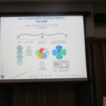
Slide depicting the Spatial Information Strategic Framework
The closing seminar featured a presentation from managing director, Magnus Rademeyer, who explained that AfriGIS answers the “where” questions of businesses by bringing quality location information to life, and provided details on the company’s newest data offerings – the Postal Code Summaries data as well as the AfriGIS Weather API.

Magnus Rademeyer in action
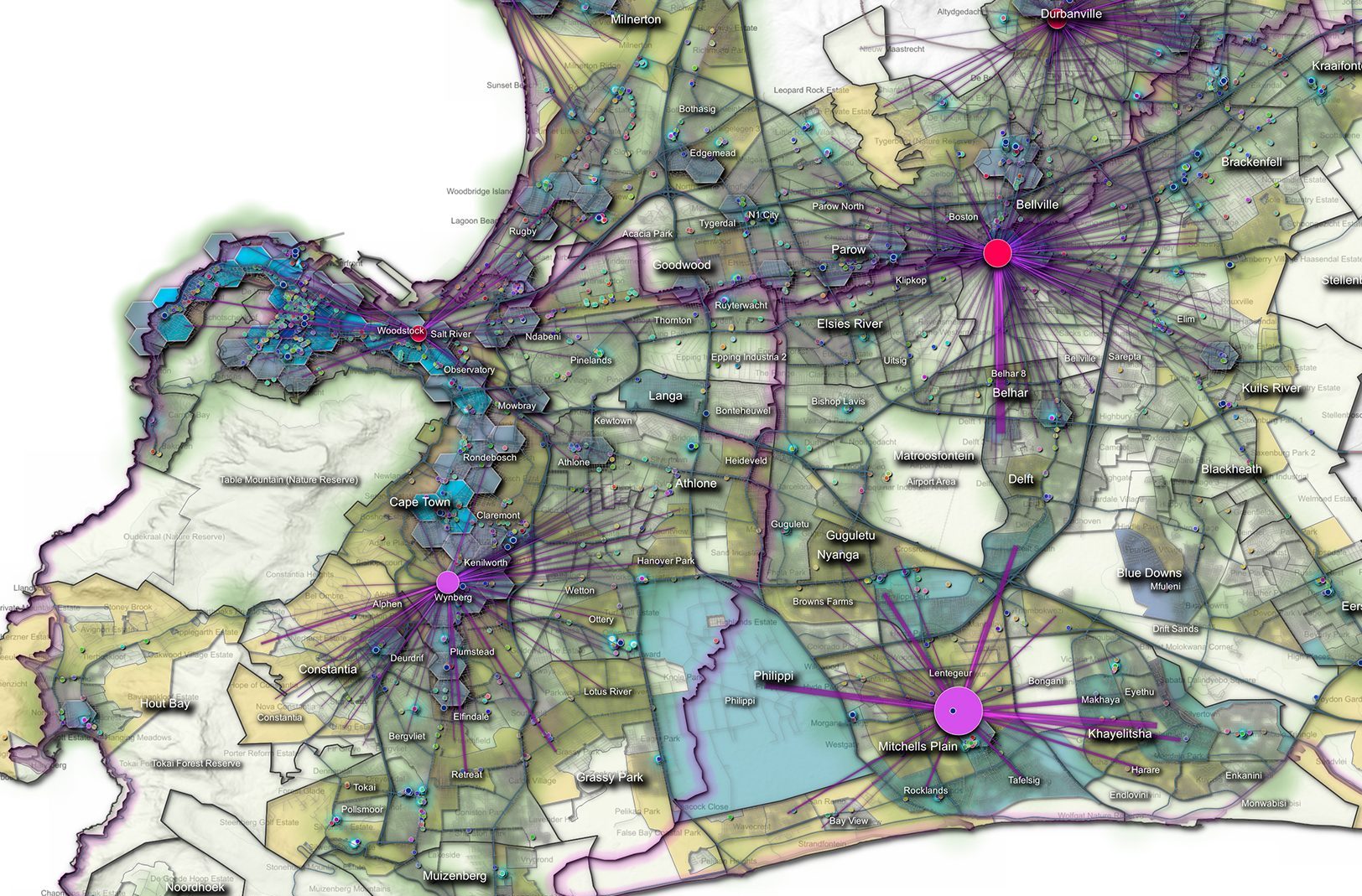
During his presentation, Rademeyer shared some of his insights into what can be done with data, and how the various data dots connect.
Identifying the basic fundamental building blocks of GIS as people, data, hardware, software, processes and standards, he stressed the need for all these elements to work together properly in order for meaningful answers to be generated. He emphasised that there needs to be a heightened awareness of these various elements, and that the Spatial Information Strategic Framework should be used to create a roadmap strategy that identifies project priorities and ensures that the various elements all work together effectively in alignment with the available budget.
In closing, Rademeyer stated that almost everything in business deals with demand and supply, and that planning, operations and monitoring are key components of these flows. The spatial data workshops for 2017 will be taking the message of the 2016 workshops forward by focusing on these components and relating them to the Spatial Information Strategic Framework, he concluded.
Source PositionIT

