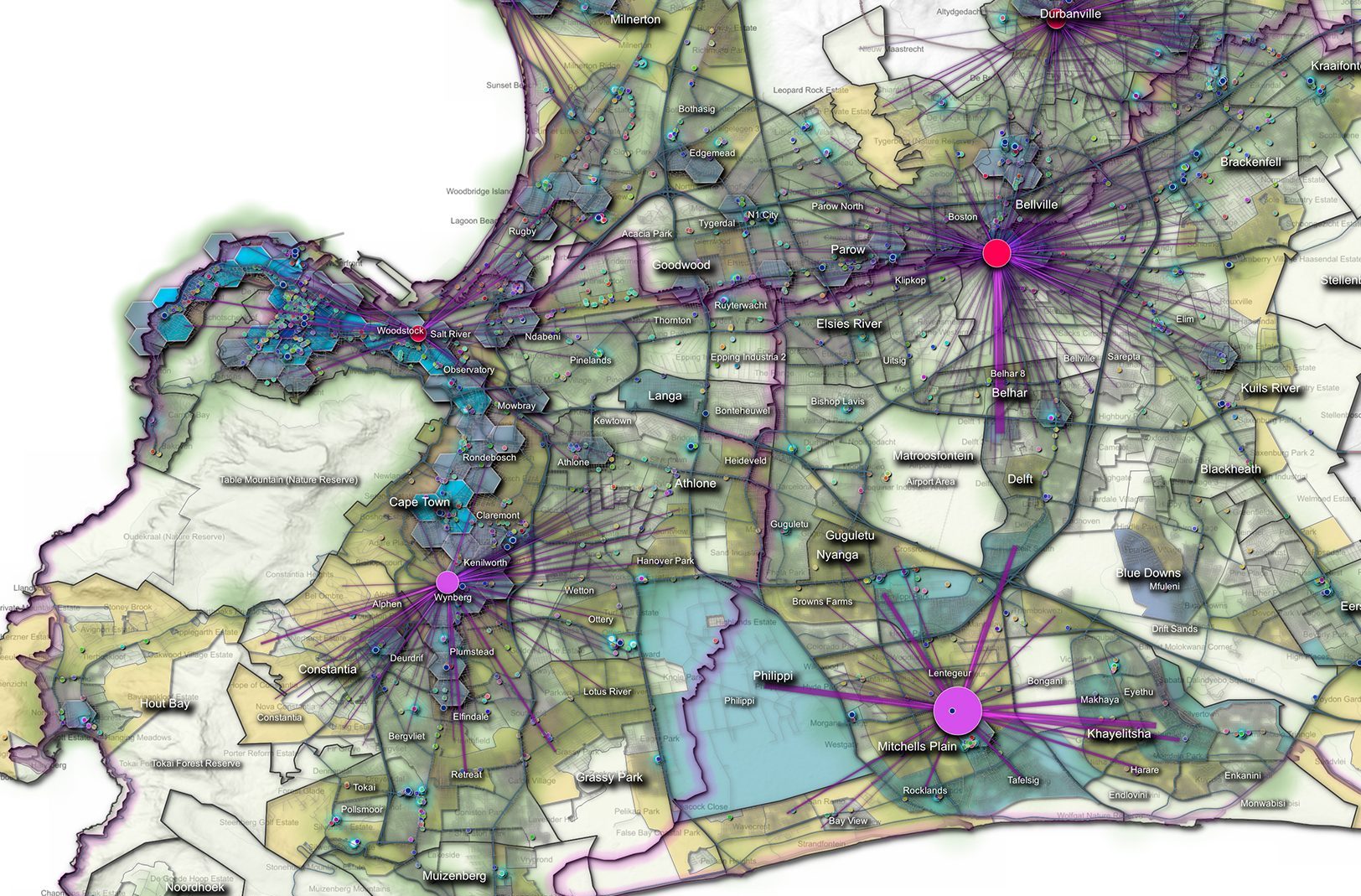
Geospatial data provider AfriGIS announced its second quarter data updates to clients at its Data and Spatial Workshop on 7 June 2017. Additions to the company’s 14 national datasets include 100 694 street addresses (NAD), 18 918 street centrelines, 26 025 land parcels, 342 sectional schemes, 2 653 points of interest, 121 proclaimed town boundaries, 734 gated communities, and 162 suburbs. Besides additions, existing entries are verified and their accuracy levels updated. A change detection layer is also published.
Chief business officer Brian Civin said that data is valuable based on coverage, by being spatially enabled, interlinked with other data, and current and maintained. Quality data can be used in answering specific business questions about where and how to assign resources, he explained. Two applications of this data came from AfriGIS’s Lourens Snyman and Caxton’s Edrich Cousins. Snyman used the data to optimise accessibility to the Thusong Service Centres (community centres) in Limpopo, while Cousins improved Caxton’s Johannesburg community newspapers’ distribution logistics.
Source: EE Publishers

