How GIS is transforming municipal property management
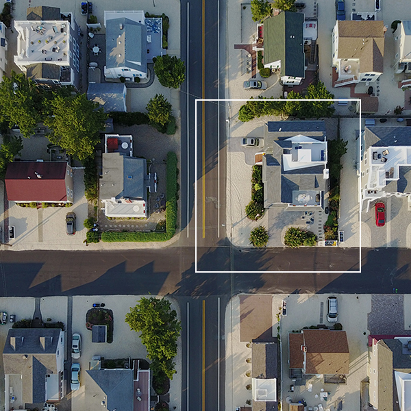
GIS is transforming municipal property management. GIS technology provides accurate, up-to-date data, helping local governments make informed decisions. From identifying state-owned land and tracking property changes to improving service delivery and infrastructure planning, GIS is essential. It addresses challenges like uncollected revenue and missing title deeds, ensuring efficiency and accountability.
Read More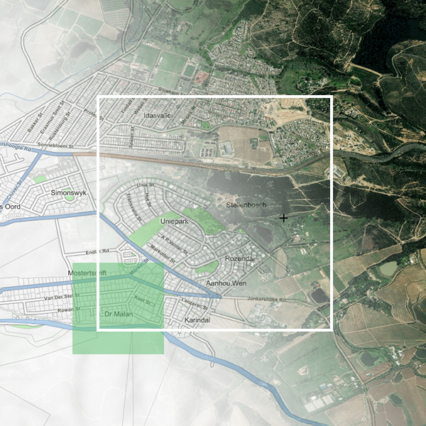
53rd Plenary Week ISO / TC211
AfriGIS, Africa's leaders in geospatial science and geospatial information solutions, will be attending the international ISO/TC211 Standards in Action workshop where countries showcase the work they are doing in the standards environment. This workshop is open to the public.
Read More
South Africa’s new smart cities: a roadmap for transforming all our cities
We are on the edge of a geospatial transformation in South Africa. GIS is the ultimate ‘connector of dots’, and is the key to unlocking the true value and potential of the smart technology that’s required to digitise urban ecosystems and make smarter cities a reality. GIS has the power to unlock rich new insights, power better decision-making, and act as a catalyst for new products and services across all industry sectors. It has the potential to add billions to our economy, improve the quality of life and wellbeing of our communities, and help protect our planet.
Read More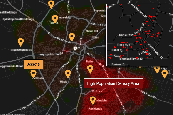
Is your Property Registration and Asset Management causing headaches?
AfriGIS assists Municipalities to enhance management and control of fixed assets with the Smart City Solution.
Read More