


Are you really guarding your data
Cybersecurity is no longer just a defensive measure—it's a critical part of maintaining business continuity and protecting sensitive data. As threats like ransomware and phishing grow more sophisticated, businesses must implement multi-layered defences. At AfriGIS, we prioritise cybersecurity with rigorous patching and vulnerability scanning, ensuring that both our services and customer solutions are secure. Custom-developed systems, in particular, require regular updates to stay protected against evolving threats. By investing in proactive defence strategies, businesses can enhance security, improve performance, and safeguard against costly breaches in an increasingly digital world.
Read More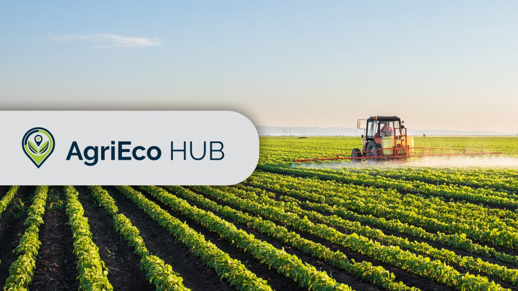
AfriGIS wins prestigious global hackathon on sustainable finance
AfriGIS is proud to announce that we have won the SustainableFinance.Live 2024 Hackathon with the innovative AgriEco Hub platform. Designed to connect smallholder and commercial farmers with financial institutions, the platform aims to drive sustainable agriculture and biodiversity while reducing financial risks. By leveraging advanced geospatial mapping, real-time environmental data, and weather forecasting, AgriEco Hub provides farmers with the tools to optimise resource use and enhance their operations. This solution highlights AfriGIS' commitment to creating impactful, technology-driven solutions that support environmental sustainability and green finance in agriculture.
Read More
Geospatial data lays the foundation of tomorrow's smart cities
Geospatial data is the cornerstone of sustainable smart city initiatives. As cities face increasing pressures from urbanisation, the integration of data-driven technologies into urban planning is vital. Geospatial data enables cities to map, analyse, and optimise every aspect of infrastructure, from energy grids and transport networks to utilities and environmental features.
Read More
AfriGIS welcomes new CEO to spearhead innovation in geoscience
AfriGIS, a leading geoscience data firm based in South Africa, has appointed Rochelle Mountany as Chief Executive Officer effective September 2024.
Read More
How GIS is transforming municipal property management
GIS is transforming municipal property management. GIS technology provides accurate, up-to-date data, helping local governments make informed decisions. From identifying state-owned land and tracking property changes to improving service delivery and infrastructure planning, GIS is essential. It addresses challenges like uncollected revenue and missing title deeds, ensuring efficiency and accountability.
Read More
Why spatial data accuracy matters
The strategic importance of data quality in a data-driven world Organisations across various industries rely on high-quality spatial data to make informed decisions that enhance efficiency and drive innovation. Learn why data quality is essential, how different industries prioritise data standards, the role of technologies like AI and machine learning in maintaining data integrity, and strategies for ensuring reliable data and the profound impact it can have on business success.
Read More
Staying ahead of unpredictable weather conditions
Staying ahead of unpredictable weather conditions By integrating weather-based data with policy information, AfriGIS allows MiWay to proactively inform clients about looming weather events, such as heavy rain, hailstorms, and lightning strikes. This protects clients’ assets and helps to prevent fraud, while also supporting MiWay's goals to reduce operational costs, meet regulatory standards, and promote sustainable business practices amid changing weather patterns.
Read More
Beyond borders – AfriGIS develops verified geospatial data for Africa
AfriGIS develops unique geospatial dataset for African continent. AfriGIS's verified and validated datasets cover the African continent's vast and varied administrative boundaries, enhancing strategic decision-making in sectors such as retail, logistics, and governance. Gain access to detailed polygon datasets and extensive data overlays through our APIs, which include everything from street centrelines to demographic insights. Unlock the potential of your African business with accurate mapping and data-driven insights from AfriGIS.
Read More
AfriGIS’s Peter Smythe appointed to GeoServer Project Steering Committee
We are proud to announce that Peter Smythe, Senior Systems Analyst at AfriGIS, has been appointed to the GeoServer Project Steering Committee. This role recognises his significant contributions to the GeoServer community and his dedication to advancing open-source GIS technologies. Join us in congratulating Peter on this prestigious appointment!
Read More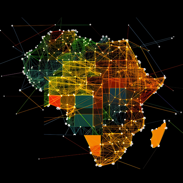
Addressing Geoscience Challenges in Africa
With 27 years of experience, AfriGIS offers unparalleled insights into the African market, backed by a commitment to providing reliable, accurate data.
Read More