How We Help
Many municipalities and utility providers struggle to track informal developments and unregistered properties. This can lead to uncollected waste or even service provision in areas that are not supposed to be covered. AfriGIS uses geospatial data to help accurately map formal and informal settlements, ensuring that all residents are accounted for in the service delivery system. This allows our clients to target their efforts and resources efficiently.
With AfriGIS, municipalities gain a comprehensive understanding of their infrastructure and surrounding areas. We provide data on land use, flooding risks, and environmental hazards, helping municipalities make informed decisions about where to build infrastructure, whether it’s roads, waste facilities, or housing developments. Our Flood Hazard Index and other risk assessments allow municipalities to plan for growth while mitigating future risks.
Service delivery doesn’t have to be reactive. AfriGIS equips clients with real-time data, allowing them to adapt quickly to changes and anticipate future needs. By integrating data from multiple sources such as cadastral data, property registration information, weather prediction and land use details, we help you stay ahead of the curve in service planning and delivery.
AfriGIS empowers municipalities with reliable, up-to-date spatial data, offering critical insights into land use/cover, zoning, property ownership, and transportation networks. By leveraging geospatial intelligence, municipalities can effectively distinguish between formal and informal settlements, identify served and unserved areas, and determine whether land is government-owned or privately held. This comprehensive understanding of their operational environment enables smarter, more efficient service delivery planning reducing inefficiencies and mitigating national security risks.
As municipalities grow, so do their service delivery needs. With AfriGIS, municipalities gain the ability to forecast growth, plan for new infrastructure, and ensure that services are scalable. We help you create a data-driven service delivery model that accounts for the future, ensuring that your infrastructure keeps up with population growth and urbanisation.
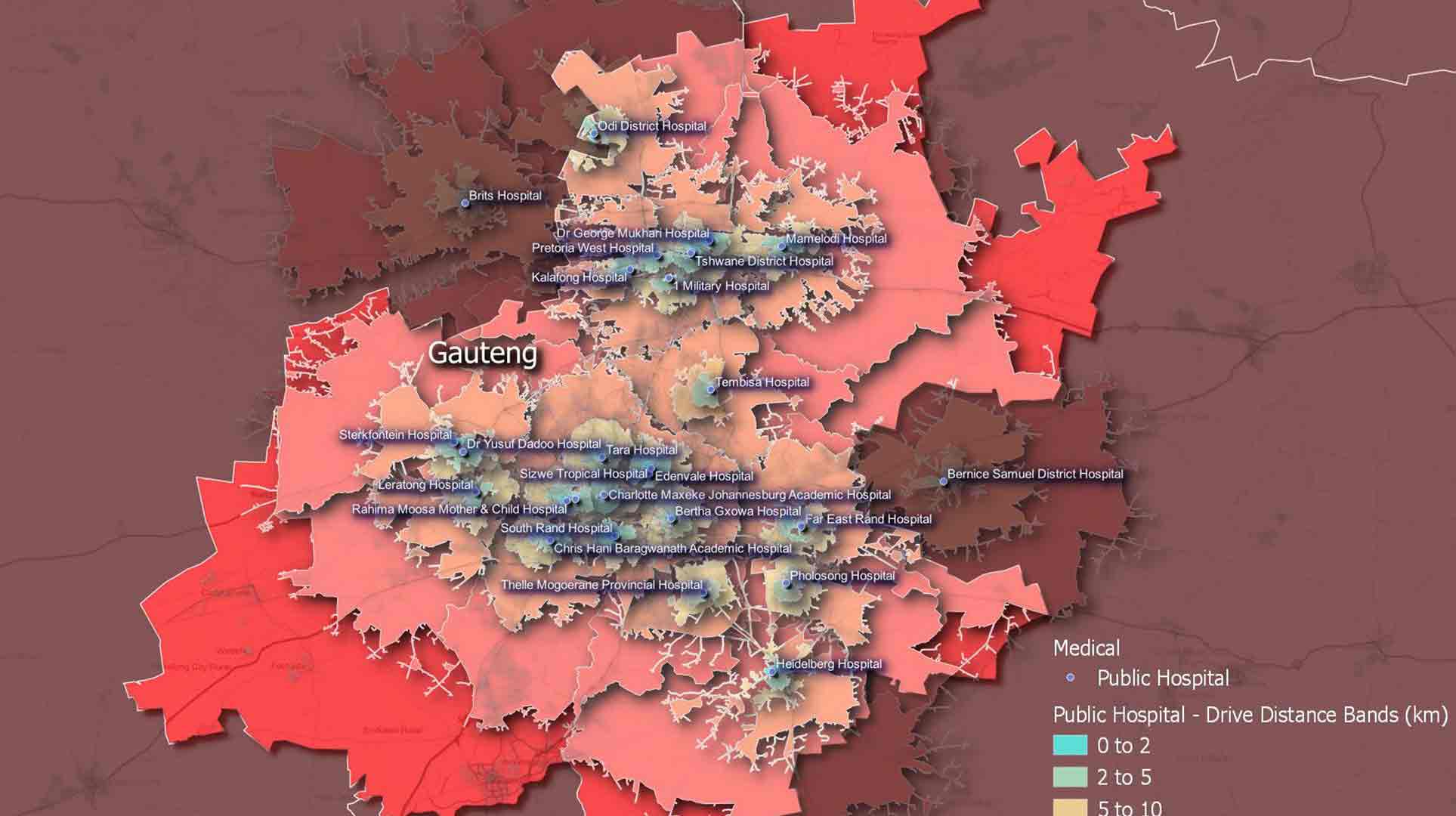
Our platform helps clients identify service delivery gaps and optimise their resource allocation. With geospatial insights, we can pinpoint areas where services are either underprovided or overextended. This allows our clients to adjust routes for waste collection, plan new developments more strategically, and allocate resources where they are needed most.