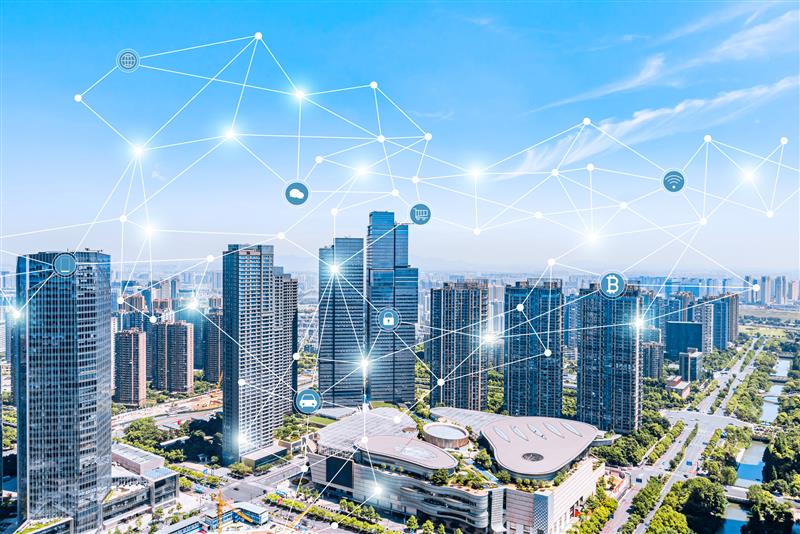
The Power of GIS in Action: Hot Spot Mapping
At AfriGIS we realise that it is sometimes hard to comprehend the extent of what it is that our industry is capable of. A great example of the power and social impact of geospatial information systems (GIS) in action is the riot function which one of our industry partners, Google, recently started offering to the South African public. With a live tracker, residents in Gauteng could see where protests and lootings were taking place, allowing them to avoid those areas.
The premise of the tool is based on quite a well-known solution used by many different industries across the globe, where analysts use GIS software to identify trouble spots or hot spot zones. These can really be anything: whether it’s high crime areas; events affecting public safety and commercial activity or even severe weather and natural disasters affecting traffic.
Hotspot analysis is a spatial analysis and mapping technique interested in the identification and clustering of spatial phenomena. These spatial phenomena are depicted as points on a map and refer to locations of events or objects.
Nicolas Kemp, AfriGIS Data Scientist explains: “A GIS system would typically use a density estimation to smooth points over a grid system. The hot spot grid value will be highest at the location of a point and diminishes with distance. Points close to each other ‘smooth’ into each other, adding both values to the underlying grid, creating a higher value than a single point being smoothed out. Each cell in the grid is then coloured based on this ‘smoothed’ value to create hot spots.”
AfriGIS already serves several of South Africa’s most established security companies, couriers and online retailers with business solutions like these to help them manage their businesses most effectively during times of instability or exponential growth.
Whether it is crime, severe weather, infrastructure outages, or the impact of COVID-19, GIS can offer an almost unfathomable number of tailor-made solutions that can benefit both business and society at large.
Get in touch with our team today if you are looking for data analysis solutions that can bring more stability and growth to your business.
For more information visit: