
AfriGIS welcomes new CEO to spearhead innovation in geoscience
AfriGIS, a leading geoscience data firm based in South Africa, has appointed Rochelle Mountany as Chief Executive Officer effective September 2024.
Read More
Beyond borders – AfriGIS develops verified geospatial data for Africa
AfriGIS develops unique geospatial dataset for African continent. AfriGIS's verified and validated datasets cover the African continent's vast and varied administrative boundaries, enhancing strategic decision-making in sectors such as retail, logistics, and governance. Gain access to detailed polygon datasets and extensive data overlays through our APIs, which include everything from street centrelines to demographic insights. Unlock the potential of your African business with accurate mapping and data-driven insights from AfriGIS.
Read More
AfriGIS’s Peter Smythe appointed to GeoServer Project Steering Committee
We are proud to announce that Peter Smythe, Senior Systems Analyst at AfriGIS, has been appointed to the GeoServer Project Steering Committee. This role recognises his significant contributions to the GeoServer community and his dedication to advancing open-source GIS technologies. Join us in congratulating Peter on this prestigious appointment!
Read More
Location intelligence is the secret weapon of data-driven banking.
By integrating geographic data with customer insights, AfriGIS enables banks to understand and serve their customers more effectively. This helps identify underserved areas, allowing for targeted and relevant financial services. Our technology breaks down traditional barriers and ensures compliance, paving the way for personalised banking experiences.
Read More
Corporate Rebels: 50th SAFARI into CREDIT and COMPLIANCE
The objective of this 50th SAFARI is to look into 2023. The better we are informed, the better we are equipped for the challenges in store for us.
Read More
Society of Southern African Geographers’ Academic Conference
The Department of Geography, Geoinformatics and Meteorology at the University of Pretoria invites geographers, academia, students, and the local geography industry professionals to attend the 2022 Society of South African Geographers (SSAG) biennial conference from the 12-14 September 2022. Directly after the biennial conference, the student conference will take place online, 15-16 September 2022.
Read More
Thank you – yes, you!
Why are maps more potent today than ever and very different from the ones we first encountered stored in rolls for Geography lessons at school? Brian Civin has been around considerably longer than AfriGIS’ 25 years (this May). And he has a key insight into why maps are a (not-so-secret) powerful new business enabler.
Read More
AfriGIS turns 25
This May we turn 25 years old, at a time when the industry's fortunes look set to soar.
Read More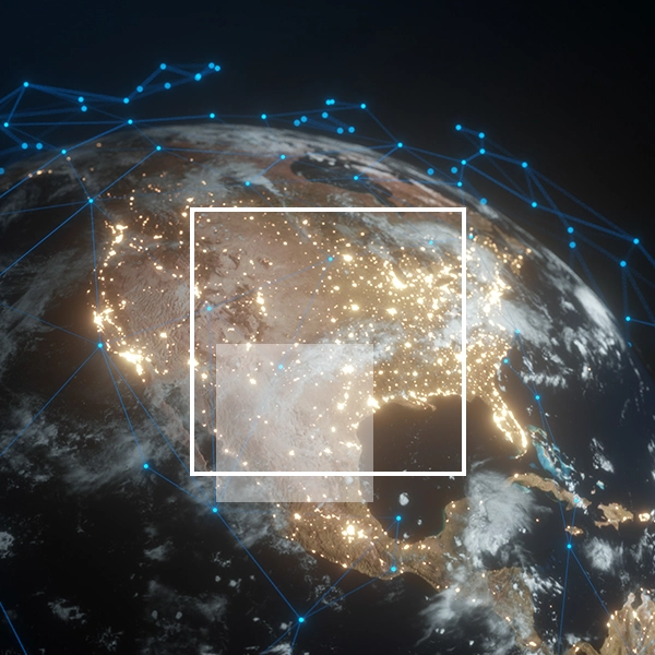
8 ways we make location intelligence better
Why should you care what geospatial information and geographic information systems are?
Read More
How you can access fast financial services growth too
We don’t always need more data. Sometimes we need better data that’s more relevant so we can find new opportunities, new ways to serve customers, new ways to help the burgeoning teams of data scientists, product managers, marketers, and all the other people dedicated to turning things around and staying the path.
Read More