


Why spatial data accuracy matters
The strategic importance of data quality in a data-driven world Organisations across various industries rely on high-quality spatial data to make informed decisions that enhance efficiency and drive innovation. Learn why data quality is essential, how different industries prioritise data standards, the role of technologies like AI and machine learning in maintaining data integrity, and strategies for ensuring reliable data and the profound impact it can have on business success.
Read More
Staying ahead of unpredictable weather conditions
Staying ahead of unpredictable weather conditions By integrating weather-based data with policy information, AfriGIS allows MiWay to proactively inform clients about looming weather events, such as heavy rain, hailstorms, and lightning strikes. This protects clients’ assets and helps to prevent fraud, while also supporting MiWay's goals to reduce operational costs, meet regulatory standards, and promote sustainable business practices amid changing weather patterns.
Read More
Beyond borders – AfriGIS develops verified geospatial data for Africa
AfriGIS develops unique geospatial dataset for African continent. AfriGIS's verified and validated datasets cover the African continent's vast and varied administrative boundaries, enhancing strategic decision-making in sectors such as retail, logistics, and governance. Gain access to detailed polygon datasets and extensive data overlays through our APIs, which include everything from street centrelines to demographic insights. Unlock the potential of your African business with accurate mapping and data-driven insights from AfriGIS.
Read More
AfriGIS’s Peter Smythe appointed to GeoServer Project Steering Committee
We are proud to announce that Peter Smythe, Senior Systems Analyst at AfriGIS, has been appointed to the GeoServer Project Steering Committee. This role recognises his significant contributions to the GeoServer community and his dedication to advancing open-source GIS technologies. Join us in congratulating Peter on this prestigious appointment!
Read More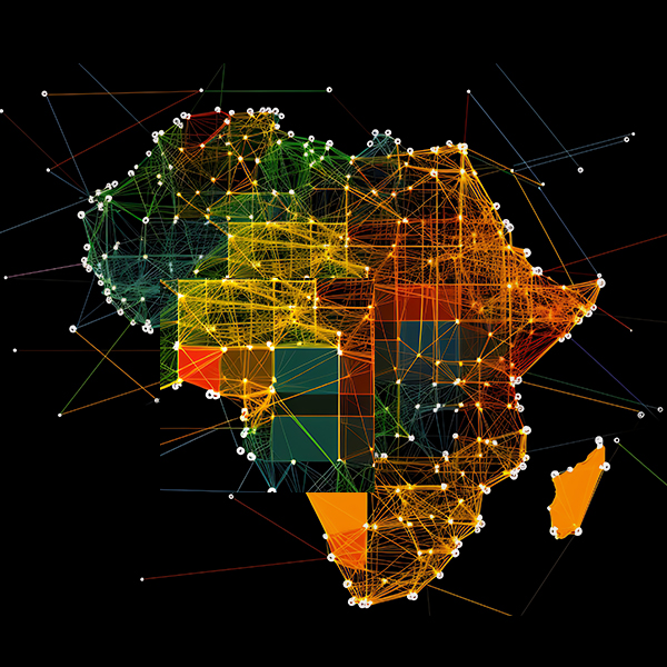
Addressing Geoscience Challenges in Africa
With 27 years of experience, AfriGIS offers unparalleled insights into the African market, backed by a commitment to providing reliable, accurate data.
Read More
Location intelligence is the secret weapon of data-driven banking.
By integrating geographic data with customer insights, AfriGIS enables banks to understand and serve their customers more effectively. This helps identify underserved areas, allowing for targeted and relevant financial services. Our technology breaks down traditional barriers and ensures compliance, paving the way for personalised banking experiences.
Read More
A GIS leap forward in the customer journey.
Groundbreaking geospatial technology can enhance every step of the customer journey. An advanced autocomplete feature for pinpoint address accuracy, coupled with a service provider allocation system based on real travel distances, ensures swift and precise service for one of SA’s leading digital satellite TV companies. Time travel bands optimise installer matching for efficiency, while strategic planning significantly cuts operational costs.
Read More
What are you looking for?
The ability to quickly find and analyse information is key to making informed decisions. Geographic Information Systems (GIS) are transforming search functions across industries, making them more spatially aware and contextually relevant than ever before. From optimising supply chains and planning urban infrastructures to enhancing customer experiences in retail, GIS technology provides precise, geospatially informed search results that drive efficiency and effectiveness. GIS assists in everything from route optimisation for logistics to risk assessment in banking and insurance, and even in choosing the perfect real estate location. Discover how GIS is revolutionising industries by enabling more informed property searches, optimising retail locations, aiding in environmental conservation, and enhancing the tourism experience.
Read More
Steering FMCG growth with GIS insights
Transforming FMCG sales with geospatial insights from AfriGIS In the competitive landscape of South Africa's FMCG market, a prominent national FMCG company partnered with AfriGIS to redefine its approach to sales and marketing. Leveraging the power of Geographic Information Systems (GIS) and the spatial data AfriGIS offers, this collaboration has set new standards in strategic decision-making and market penetration.
Read More
Black Swan events and their spatial consequences
Navigating the unpredictable with help from geospatial analytics In a world increasingly defined by unforeseen and impactful 'Black Swan' events, from the global ramifications of the COVID-19 pandemic to abrupt geopolitical shifts, understanding and preparing for such unpredictability is more critical than ever. Through the expert insights of Brian Civin and Marna Roos from AfriGIS, we explore how spatial data and advanced weather forecasting can not only predict extreme weather events but also aid in effective urban planning and climate change mitigation.
Read More