

Locating the Future with the Power and Potential of GIS
It is our belief that the power of GIS lies in its ability to transform organisational outcomes. That location-based intelligence solutions enhances customer satisfaction, grows revenue streams, streamlines operational performance, and ensures sustained profitability – regardless of the business sector.
Read More
53rd Plenary Week ISO / TC211
AfriGIS, Africa's leaders in geospatial science and geospatial information solutions, will be attending the international ISO/TC211 Standards in Action workshop where countries showcase the work they are doing in the standards environment. This workshop is open to the public.
Read More
OGC 121st Members Meeting
AfriGIS, Africa's leaders in geospatial science and geospatial information solutions, will be attending the OGC 121st Members Meeting.
Read More
30th International Cartographic Conference
AfriGIS, Africa's leaders in geospatial science and geospatial information solutions, will be attending the 30th International Cartographic Conference.
Read More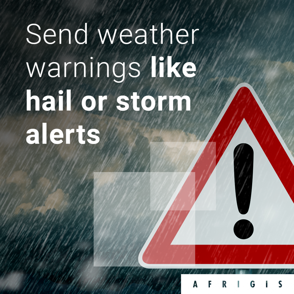
Weather Insights that can protect properties, businesses and lives
Trust AfriGIS for accurate weather data. Get a better understanding of where your customers and workforces are and manage weather related risk and exposure by accessing valuable weather insights and web-based tools through AfriGIS solutions.
Read More
44th SAFARI into Credit
Get up-to-speed with what the 2021 trends and challenges are in the Market space. Don’t miss the opportunity to be informed about the Macro Economics currently playing out and what the balance of 2021 might have in store.
Read More
Charl Fouché, appointed to the Advisory Committee of the University of Pretoria’s Geoinformatics programs
With close to 25 years of experience in the geospatial world, Charl’s expertise and contribution to the industry continues to support the expansion of the GIS industry in South Africa and abroad.
Read More
University of Pretoria: Faculty of Natural and Agricultural Science Department of Geography, Geoinformatics and Meteorology Advisory Committee meeting
The Advisory Committee aims to liaise in a formal and structured way and on a regular basis with all sectors of the industry. This assists the department to develop and maintain a programme that meets the requirements of the industry and the workplace.
Read More
South Africa’s new smart cities: a roadmap for transforming all our cities
We are on the edge of a geospatial transformation in South Africa. GIS is the ultimate ‘connector of dots’, and is the key to unlocking the true value and potential of the smart technology that’s required to digitise urban ecosystems and make smarter cities a reality. GIS has the power to unlock rich new insights, power better decision-making, and act as a catalyst for new products and services across all industry sectors. It has the potential to add billions to our economy, improve the quality of life and wellbeing of our communities, and help protect our planet.
Read More
Meet AfriGIS Iris: A Window into the Inner World of Our Solutions
AfriGIS Iris was developed by our team of geospatial scientists with the explicit aim of taking you on an interactive journey to demonstrate the capabilities of AfriGIS Solutions.
Read More