There is a buzzword every year. We seem to have our pick of three letter acronyms and catch phrases in boardrooms in the same way we have top 20 music hits on the radio. “Geographical standards” have become one of those flavoured phrases.
Geographical standards, however, is a word we should become familiar with as it is here to stay. Why? For the same reason we feel safe in our cars, getting onto an airplane, or even plugging in our appliances: because we trust the standards to which it is build. It’s the simple knowledge that in some mysterious place in the universe, someone made sure that everything will work in the same way.
How does all of this apply to you?
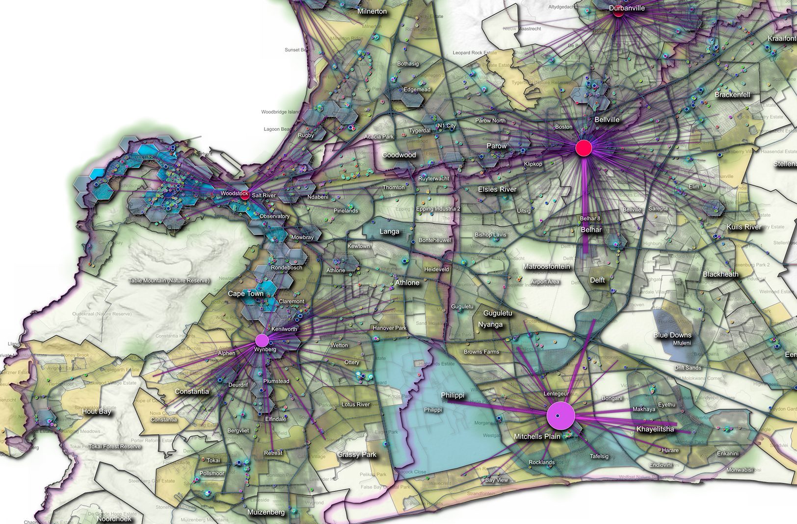
Every business in some shape or form has a spatial component, or has a location on the planet. During a United Nations World Geospatial Information Congress (UNWGIC) plenary session in November 2018 one participant said that: “It is becoming impossible to make a decision without a spatial component.” Simply put, we have service providers driving around, we have customers receiving mail, we have institutions providing emergency services, we provide credit card details and trust that the item we bought online will find its way to us.
All these things can only happen if we have spatial standards that govern the way in which we provide and receive information. The purpose of this article is not to drown you in the technical details, but to provide you with a basic overview to know what to look for and to recognise the importance when you encounter geo-standards in your workplace and private life.
The international Geographic Standards Body (ISO/TC211) has been around for 25 years. During this time, 80 standards have been published and 21 more are currently in progress. There are 39 Countries that actively contribute and prioritise the importance of digital geographical standards. Another 31 countries observe the process. South Africa is specifically active in the addressing field of standardisation. South Africa has member representation in all the technical working groups.
It important that we start understanding geographical standards because mapping and navigation apps, online shopping and delivery services, emergency services and much more only work if they deal with a verified and validated address to use that will allow them to find us.
When we start referring to apps, we have to involve the work done by the Open Geospatial Consortium (OGC). The OGC standards are detailed technical encodings that allow software developers in different countries to work and integrate a specific piece of software without the need for further debugging and additional coding.
The purpose of geographical standards is to promote the interoperability and sharing of data.
“It is becoming impossible to make a decision without a spatial component.” – United Nations World Geospatial Information Congress (UNWGIC)
Where do standards come from?
When the need for geographical standards arose 25 years ago it started as a single standard. As the need arose and different aspects of geomatics became more prominent, the need for a more comprehensive suite of standards became evident.
Current working groups in ISO/TC211 include:
- Working Group 4 – Geospatial Services
- Working Group 6 – Imagery
- Working Group 7 – Information Communities
- Working Group 9 – Information Management
- Working Group 10 – Ubiquitous Public Access
- Working Group 11 – GIS-ITS (Since June 2019)
Each one of the working groups consist of experts in the respective fields. They range from academia to private sector. Each country participating in a standard must volunteer the services and time of an expert. The process of writing standards is complex and requires a great deal of attention to detail. It needs to be clear across boundaries and language barriers. It needs to be specific in its intent and in the solution to a problem. In some instances, a single standard could not address a subject in its totality and a suite of standards then address different aspects of a subject.
Standards, when they are complete, represent a recommendation or a best practice. There are various test suites to ensure that a company or a specific area is compliant with the quality that is expected from the dataset. It then acknowledges to all who interact with it spatially that the interaction will be seamless and as in the case of the OGC, different countries will be able to seamlessly integrate without further debugging and changes. Standards are revised at relevant intervals to ensure that they remain current in an ever changing digital world.
It is worth educating ourselves to understand what we need to incorporate in order to be able to share and exchange data between countries and companies. We need to understand why every standard was written and what need it fulfils.
PositionIT and AfriGIS will strive to provide you with a helpful guide to understanding and interacting with geographical standards. Standards can be purchased on the SABS website and the cost for each standard is determined according to country.
As we trust the standards in planes and electricity to keep us safe, we need to understand how spatial standards keep us, our business and our interaction with other countries and companies safe.
Further reading
- The International body: ISO / TC211 – Geographic Information / Geomatics. https://committee.iso.org/home/tc211
- Open Geospatial Consortium – https://www.opengeospatial.org/standards
Contact Marna Roos, AfriGIS, marna@afrigis.co.za