
AfriGIS Appoints Liza Nolte as New Business Development Manager
AfriGIS is proud to announce the appointment of Liza Nolte as its new Business Development Manager, effective 3 February 2025. Liza brings over 13 years of global industry experience, having worked in the UK and South Africa, gaining valuable international exposure. Most notably, she played a key role in driving inQuba’s global demand generation and marketing strategies while overseeing strategic partnerships with Microsoft, EY, and other key industry players. As AfriGIS continues its expansion across Southern Africa, Liza’s expertise in business development, strategic partnerships, and customer journey management will be instrumental in strengthening the company’s position as a leader in geospatial technology.
Read More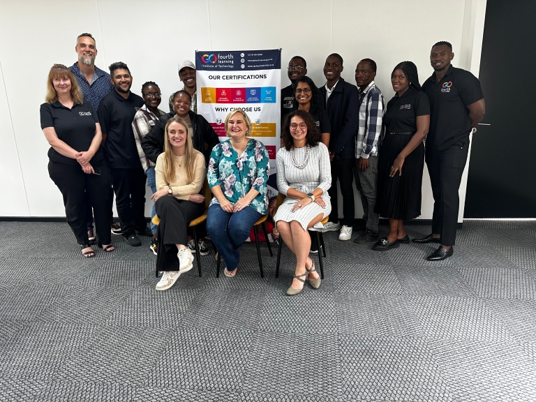
IT Systems Development Training Programme
AfriGIS has partnered with Go Fourth to launch a transformative professional learning programme aimed at addressing South Africa’s critical skills shortage in software development. This initiative is set to make a significant impact on youth unemployment while meeting the growing global demand for skilled IT professionals. Six learners have been selected to take part in the 12-month programme which will combine six months of classroom training at the Go Fourth campus with six months of on-the-job training at AfriGIS. They will be taught practical skills in IT Systems Development,C# and Java Development, as well as AWS Cloud Technology, and graduates will receive international certification. South Africa’s IT skills shortage of over 70 000 high-value digital jobs requires organisations to bridge the gap by providing meaningful pathways to employment and long-term success in one of the world’s fastest-growing industries.
Read More
Leroy Merlin partners with AfriGIS to build services marketplace
AfriGIS partnered with Leroy Merlin to bring a smarter, more efficient experience to South African shoppers. With our advanced mapping technology, customers can easily find reliable, vetted service providers in their area for all their home needs, whether it’s installations, repairs, or renovations. For service providers, our solution allows them to set clear operational zones, manage schedules, and easily reach more customers. Both customers and service providers benefit from a seamless, trusted platform that makes home projects simpler and more efficient.
Read More
The Importance of Context: How Geospatial Information Science Helps Us
At AfriGIS, we leverage geospatial information science (GIS) to give businesses and organisations the contextual understanding they need to ask better questions, leading to better answers, writes Rochelle Mountany, CEO of AfriGIS.
Read More
How AI is transforming geospatial analysis
Discover how artificial intelligence is transforming geospatial systems, automating complex tasks, and enabling smarter decision-making. From mapping land-use patterns to predicting future infrastructure needs, AI is helping organisations improve efficiency, accuracy, and inclusivity. Explore how quality data, natural language tools, and tailored solutions are shaping the future of spatial planning and sustainable development.
Read More
Are you really guarding your data
Cybersecurity is no longer just a defensive measure—it's a critical part of maintaining business continuity and protecting sensitive data. As threats like ransomware and phishing grow more sophisticated, businesses must implement multi-layered defences. At AfriGIS, we prioritise cybersecurity with rigorous patching and vulnerability scanning, ensuring that both our services and customer solutions are secure. Custom-developed systems, in particular, require regular updates to stay protected against evolving threats. By investing in proactive defence strategies, businesses can enhance security, improve performance, and safeguard against costly breaches in an increasingly digital world.
Read More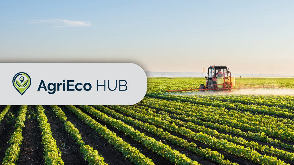
AfriGIS wins prestigious global hackathon on sustainable finance
AfriGIS is proud to announce that we have won the SustainableFinance.Live 2024 Hackathon with the innovative AgriEco Hub platform. Designed to connect smallholder and commercial farmers with financial institutions, the platform aims to drive sustainable agriculture and biodiversity while reducing financial risks. By leveraging advanced geospatial mapping, real-time environmental data, and weather forecasting, AgriEco Hub provides farmers with the tools to optimise resource use and enhance their operations. This solution highlights AfriGIS' commitment to creating impactful, technology-driven solutions that support environmental sustainability and green finance in agriculture.
Read More
AfriGIS welcomes new CEO to spearhead innovation in geoscience
AfriGIS, a leading geoscience data firm based in South Africa, has appointed Rochelle Mountany as Chief Executive Officer effective September 2024.
Read More
Staying ahead of unpredictable weather conditions
Staying ahead of unpredictable weather conditions By integrating weather-based data with policy information, AfriGIS allows MiWay to proactively inform clients about looming weather events, such as heavy rain, hailstorms, and lightning strikes. This protects clients’ assets and helps to prevent fraud, while also supporting MiWay's goals to reduce operational costs, meet regulatory standards, and promote sustainable business practices amid changing weather patterns.
Read More
Beyond borders – AfriGIS develops verified geospatial data for Africa
AfriGIS develops unique geospatial dataset for African continent. AfriGIS's verified and validated datasets cover the African continent's vast and varied administrative boundaries, enhancing strategic decision-making in sectors such as retail, logistics, and governance. Gain access to detailed polygon datasets and extensive data overlays through our APIs, which include everything from street centrelines to demographic insights. Unlock the potential of your African business with accurate mapping and data-driven insights from AfriGIS.
Read More