Every South African city waiting on an urban renewal programme is, at some level, waiting on data. The land has been identified, the budget allocated, the plan approved. What holds delivery back is rarely vision. It is the intricate work of reconciling historic, physical and legal records into a single picture reliable enough to build on, and some of those records are more than 300 years old.
When land will not cooperate with the plan
Housing delivery in South Africa tends to begin with a national framework: a human settlements department identifies a mandate, public works helps locate available parcels, and allocation begins. The complications arrive when a project moves from planning to site. A tract that looks open and unencumbered on a basic register turns out to sit on dolomite, unsuitable for construction without specialised engineering. Or it falls inside a flood corridor absent from standard valuation records. Or it is occupied under informal tenure arrangements decades old. Each of these realities existed in the physical world long before it appeared in any dataset, and each can delay a programme that was approved and budgeted in good faith. Land cannot be read at face value. Planners need to know what a parcel is used for, what it is suited to, and what structural or environmental risk it carries, before allocation rather than after.
The ownership chain flat data cannot follow
Even where the land itself is sound, establishing who owns it is often more complicated than a current deeds record suggests. South Africa’s property history is layered with transfers recorded at nominal values, estates that were never finalised, corporate entities long since dissolved, and informal arrangements that never reached an official registry. A single registry entry can show one clean current owner while concealing unresolved transactions, historical disputes or encumbrances, each capable of exposing a development to litigation once work begins. A flat property database answers only for the present. Tracing lineage is what establishes whether a title is genuinely clean. AfriGIS maintains a historical deeds register reaching, in some cases, to the late 1700s. That depth earns its keep in practice, resolving ownership where a current title alone falls short by identifying what transferred, when, and at what value, so a claim can be settled before a spade goes in.
The registration backlog holding municipalities back
The scale of the post-1994 housing programme was remarkable, and the pace of it created administrative gaps that persist. Many properties transferred to beneficiaries were never formally surveyed, subdivided or registered in the recipient’s name. They sit, in large numbers, under provincial or municipal ownership on paper, leaving neither occupant nor state with a clear picture of who holds title. The consequences compound. Without title a beneficiary cannot fully own, sell or borrow against the home they live in. Municipalities, in turn, struggle to assign rates or service obligations to properties with no confirmed private owner on record.
A verified link from address to parcel to title
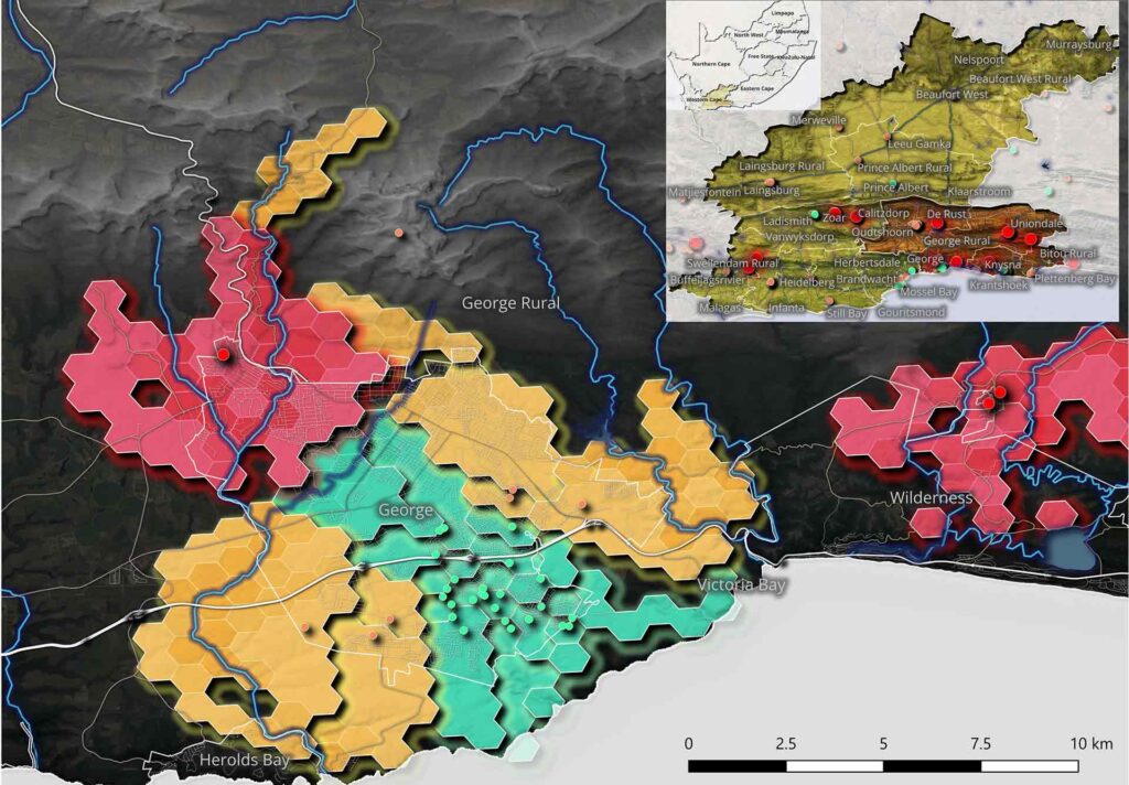
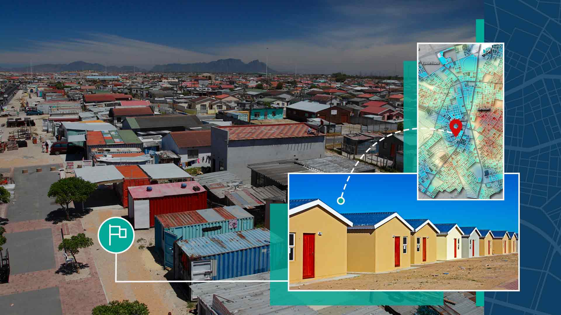
Resolving this at scale needs clean baseline data and structured coordination. The mechanism is a verified spatial connection: a street address linked to a surveyed land parcel, and that parcel linked to its deeds record. Read together at municipal-boundary level, those three elements reveal which properties remain in state ownership and which need formal registration. That baseline lets local authorities accelerate registration drives, clear the administrative backlog, and stabilise the revenue base that funds service delivery. From a single verified address, it becomes possible to establish almost everything about a location: whether an active enterprise is registered there, who its directors are, and the wider property portfolio of the registered owner. Joined up, an address, a parcel and a title deed stop being three separate records and become the foundation on which national delivery can actually move.