Two very different pressures on South African organisations this year share a single root. A stalled urban renewal programme and a district bracing for another flood both come down to whether the right physical, legal and spatial records can be connected fast enough to act on. This month we look at what changes when they are.
The data problem behind stalled renewal
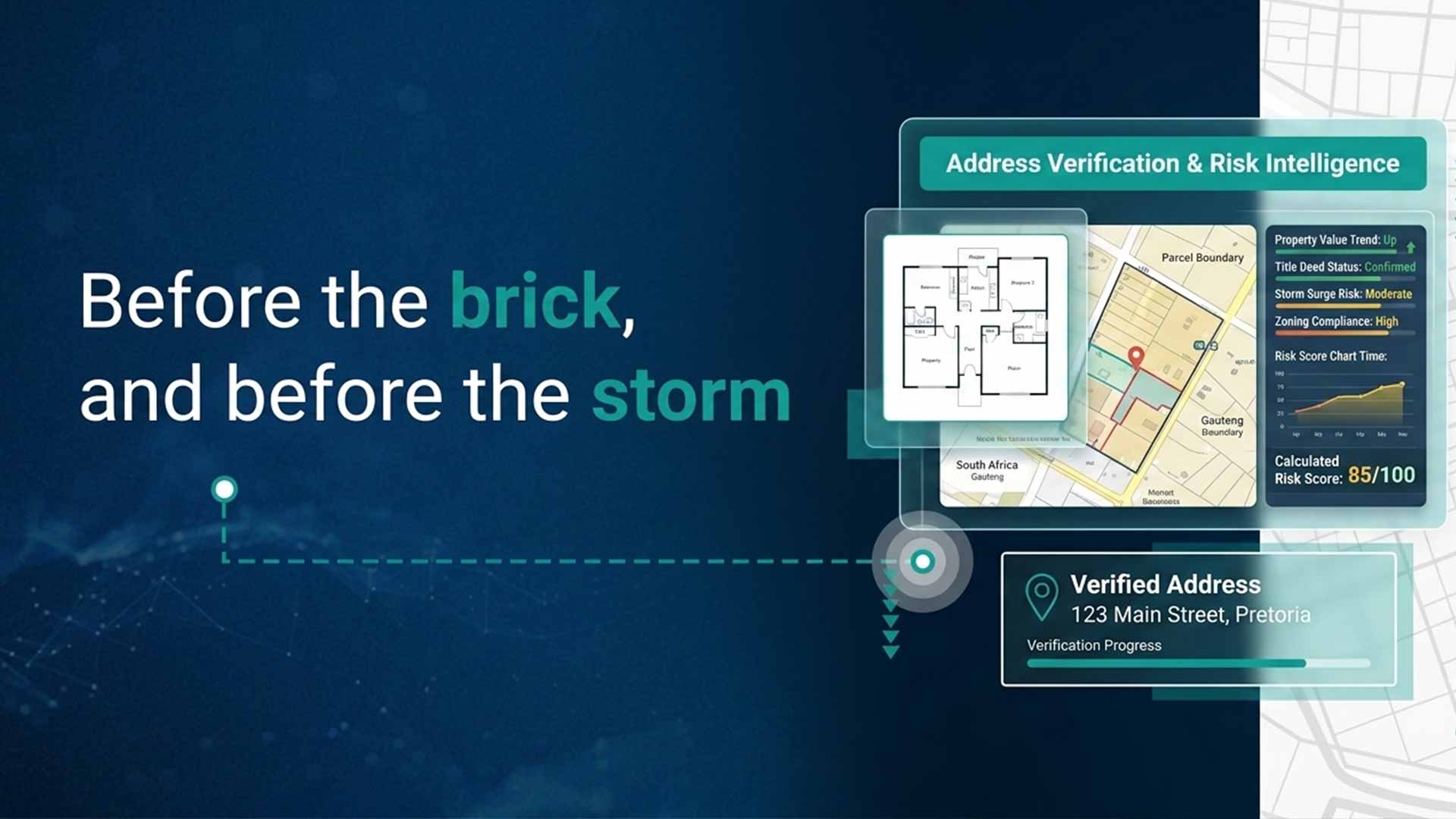
South African cities have the land, the budgets and the approved plans for renewal. What slows delivery is the tangle beneath: parcels that sit on dolomite or inside unmapped flood corridors, and ownership histories holding nominal transfers, unfinalised estates and informal arrangements that never reached a registry. The backlog of undelivered title deeds was put at more than 1.2 million in a reply to Parliament late last year. AfriGIS resolves this by linking a verified street address to a surveyed parcel and its deeds record, some reaching back to the late 1700s, giving municipalities the baseline to clear registration backlogs and stabilise their rates income.
Read more: The data problem beneath South Africa’s stalled renewal projects
What the Garden Route floods proved
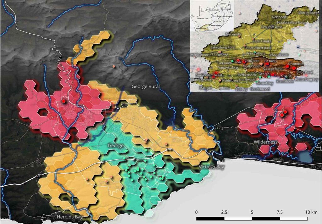
When two cutoff lows hit the Garden Route within a month this winter, AfriGIS had already mapped the 22 informal settlements most at risk of being cut off, from just four data layers: roads, rivers, settlement locations and storm warnings. Add deeds, cadastre and business data to that base, and the same map prices parcel-level flood risk for insurers and quantifies exposure for infrastructure owners. With the rainfall season still running and flood lines being redrawn, the case for mapping this at national scale is already made.
Read more: What the Garden Route floods proved about spatial preparedness
The AfriGIS advantage
Verified location intelligence turns fragmented records into a single source of physical truth, integrated within hours or days of engagement.
- Authoritative sourcing: data drawn only from verified entities, never crowdsourced, and validated against satellite and ground truth.
- Depth of record: 28 years of geospatial history, with deeds data reaching back centuries, for risk read against a real baseline.
- The verified link: street address to land parcel to title deed, joined into one reliable picture.
- API integration: property, address and risk intelligence delivered straight into existing workflows.
We’re glad to show your team what this looks like against your own footprint, whether that is a municipal boundary or a national asset base.